Yesterday I left work a couple hours early to enjoy the unusual warm temperatures for this time of year. We decided to go for a bike ride and headed to the new section of the Cannon Valley Trail to start our ride. The sun was shining and the trail was smooth and there were several people out enjoying the 70* temperature in November, in Minnesota. It’s fun to see the landscape without the leaves on the trees although there are a few stunning trees still showing off their brilliant colors. We saw two deer along the trail. We reminisced about a ride we took in February, my first winter bike ride in Minnesota. Again, the weather was unusually warm and we were tooling around on our bikes in February. That’s a good bicycle season – for me. I know there are many folks biking all year ’round!
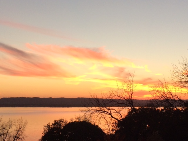
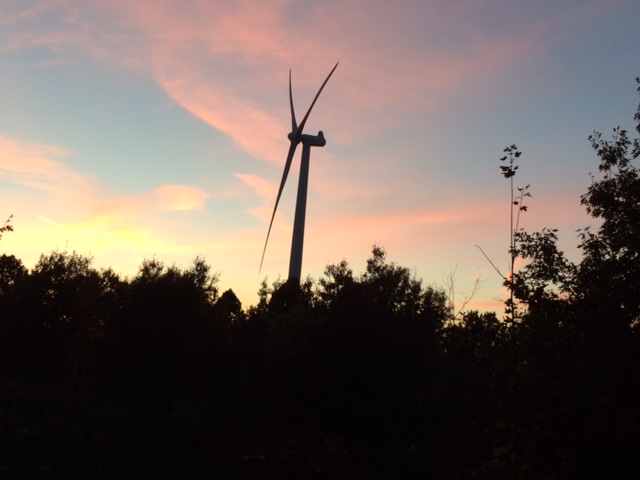
One lovely fall day we took the scenic drive down the Mississippi River along the Minnesota side and crossed over the river in Winona and headed north on the Wisconsin side. We stopped at the overlook in Alma and hiked in a park there. Next we stopped at Danzinger Vineyards and sipped ginger beer while sitting outside in the fall sunshine, overlooking the beautiful river valley, listening to live music playing in the background. We continued up the road north to Nelson’s Creamery where we ordered Rueben and Hot Ruby Sandwiches. An ice cream cone was the grand finale of all the good treats we had that day. The drive back during sunset was an added bonus to a wonderful time…trying to get snap shots of it all.
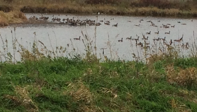
The three ponds in our neighborhood attract Canadian Geese, especially this time of year, and geese have been flying over our house many times today. I was out in the garden this morning for a couple of “fly overs”. The windows are open so even in the house I have heard them honking while flying over. It’s a wonderful sound! Loud too!
I sent a card off in the mail this week. I went to the post office to get it stamped and the clerk warned me it would cost extra because it was so thick. I responded it’s OK, I expected that. Then I told him it is a birthday card that I send to my childhood friend and we’ve been sending it back and forth to each other since 1979. That’s 37 years! It began during the push for recycling and the card suggested we save it and send it back to the recipient on her birthday the following year. So we did. We keep adding cardstock for room to write our birthday greetings, thus its thickness.
One year it fell out of her mail box on to the street and vehicles ran over it before she was able to retrieve it. Some of the writing is smeared but most of it is intact.
It’s very special, she’s very special, and we have lots of happy memories together, growing up living across the street from each other.
There is a different kind of energy that comes from walking in the city.
I like to hike or walk in parks and enjoy the quietness of the woods, and I like walking in our quiet neighborhoods in my small town but, over the weekend, I went for a walk in the city.
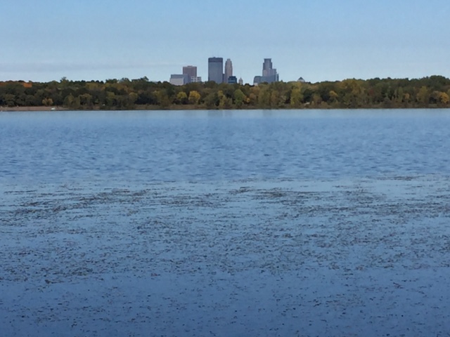
I really enjoyed walking around Lake Harriet on Saturday. It was another fabulous fall day in Minnesota with beautiful sunshine and blue skies with great wisps of white clouds. There were so many people enjoying the great outdoors. It was festive and energizing. There were young and old folks, biking or walking or running, pushing a stroller or wheelchair, or walking a dog/s.
The most unusual, but heartwarming sight, was two runners coming in our direction. They were running side by side but one was clearly leading the other. They wore fluorescent vests. One vest identified a runner assistant, or something on that order, and the other vest identified the runner as a blind runner, with assistant.
I don’t know if they were training for the marathon that was coming up the following day but it was a touching moment to know someone was taking time to help a blind person run. My heart was so happy to see this duo. I didn’t know this kind of service existed, but am glad to know it does.
Sunday was another beautiful day for thousands of runners in the Twin Cities marathon…
The French doors leading from the dining room table laden with food, were wide open to the outdoor patio where there were tubs of cold drinks. The weather was delightful… a perfectly wonderful autumn afternoon in Minnesota. The skies were blue with lots of sunshine, temperatures in the 70’s and no wind… spirits were high. A great day for an open house.
We were helping our son and daughter-in-love in the kitchen while they invited their neighbors and colleagues over to see their new home. I met a few of the neighbors myself and they were so happy to be invited to the party, to see this new home that replaced the old house they were familiar with, and to meet the young couple new to this old neighborhood. It was a festive atmosphere and, to me, a confirmation that getting together with neighbors and friends, and making opportunities to connect, is good.
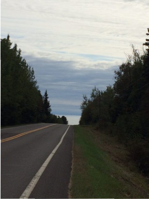
The Sawbill Trail road is a beautiful drive from Highway 61 to Sawbill Lake, an entry point to the BWCA. We have traveled it many times over the years, since coming up to this part of the north shore.
We drive it for fall colors, looking for wild life, to access certain trails, to see a sunset, and it also holds memories of us running on the road when our sons ran cross-country in high school. At one time all four of us ran (I ran in two 5K’s but that was enough for me). The guys needed to practice so we took them to this beautiful road.
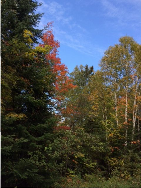
Hints of color on Sawbill Trail
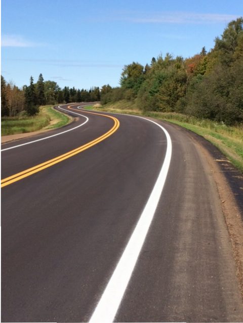
Only the first three miles have been paved for years…the remaining was dirt road so we were pleasantly surprised to see it had been paved this summer, and that the new section was paved with wide shoulders so now it can accommodate cycling.
There are several finished sections of the Gitcha-Gami (Great Sea) bike trail which is why we bring our bicycles along to the cabin. It’s a beautiful trail close to “The Lake” with the plans being one continuous trail from Two Harbors to Grand Marais. For us, coming as far north as Tofte, the Sawbill Trail offers another great biking option.
We were excited as we drove to the top of a three mile hill and parked our car. We unloaded our bikes and put on our helmets and started to pedal. The road was so smooth yet it was a difficult ride because we were biking into the wind. After we turned around (eight miles out) we had the wind at our backs, pushing us along we clipped back at a steady pace.
Back at the car Gary asked me if I wanted to ride down the three mile hill to Hwy 61 (he knows the thrill of going down a big hill.) This hill is the old section of the Sawbill Trail that winds around and takes you down as though you were driving into Lake Superior. This section is without a wide shoulder but has little traffic. He’d drive our car down to meet me at the bottom. I decided to go for it.
I was going fast and it was quite the ride. This summer I considered riding a zip line over waterfalls in Quebec but didn’t. I think the ride down the Sawbill Trail was the thrill for me!
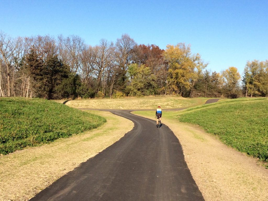 Yesterday I left work a couple hours early to enjoy the unusual warm temperatures for this time of year. We decided to go for a bike ride and headed to the new section of the Cannon Valley Trail to start our ride. The sun was shining and the trail was smooth and there were several people out enjoying the 70* temperature in November, in Minnesota. It’s fun to see the landscape without the leaves on the trees although there are a few stunning trees still showing off their brilliant colors. We saw two deer along the trail. We reminisced about a ride we took in February, my first winter bike ride in Minnesota. Again, the weather was unusually warm and we were tooling around on our bikes in February. That’s a good bicycle season – for me. I know there are many folks biking all year ’round!
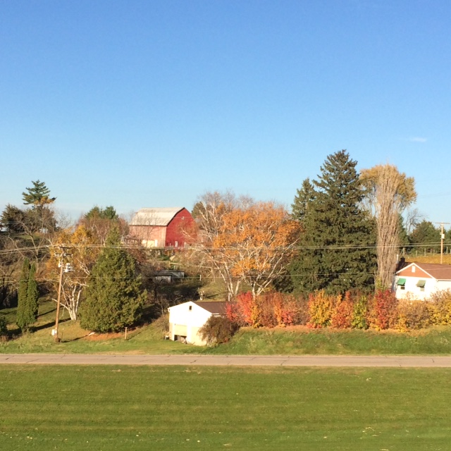 One lovely fall day we took the scenic drive down the Mississippi River along the Minnesota side and crossed over the river in Winona and headed north on the Wisconsin side. We stopped at the overlook in Alma and hiked in a park there. Next we stopped at Danzinger Vineyards and sipped ginger beer while sitting outside in the fall sunshine, overlooking the beautiful river valley, listening to live music playing in the background. We continued up the road north to Nelson’s Creamery where we ordered Rueben and Hot Ruby Sandwiches. An ice cream cone was the grand finale of all the good treats we had that day. The drive back during sunset was an added bonus to a wonderful time…trying to get snap shots of it all.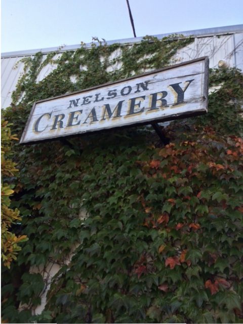
 I sent a card off in the mail this week. I went to the post office to get it stamped and the clerk warned me it would cost extra because it was so thick. I responded it’s OK, I expected that. Then I told him it is a birthday card that I send to my childhood friend and we’ve been sending it back and forth to each other since 1979. That’s 37 years! It began during the push for recycling and the card suggested we save it and send it back to the recipient on her birthday the following year. So we did. We keep adding cardstock for room to write our birthday greetings, thus its thickness.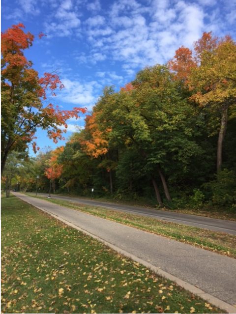


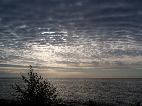 Lake Superior Psalm 23